

Site analysis.
Explore sun, climate and site conditions, and give your next design a clearer starting point.
Start with a location.
Search above, or add coordinates.
Then draw your lot and explore the site.
Site
Mark your lot, then explore sunlight, site forces and a building study.
Your site at a glance
Live studyMark a lot to see its measurements.
Property data
Look up the mapped property boundary. Public parcel coverage starts in Santa Clara County.
Lot boundary
No boundaryLocation coordinates
Boundary coordinates & import
Enter a rectangular lot
Sun & shadows
Time zone
Analyze a site to see the sun’s position.
Sunlight across the lot
CalculatedMark your lot, then calculate hours of direct sun on the ground.
Climate
Analyze a site to load climate context and wind observations.
Each result includes its period and source. Weather observations and long-term climate describe different conditions.
Forces & hazards
Values are queried at the selected site point. Confirm site class from project geotechnical information and risk category from the project use. Large lots can span different mapped zones.
Flood coverage on the lot
Analyze a site to load wind and snow forecasts, seismic and mapped hazards.
Historical storms
Check available reported storm events near the selected site.
Unavailable data is shown explicitly. Wind and snowfall are current NWS forecasts. Seismic and mapped hazards use their linked sources.
Building mass
Buildable envelope
Your inputsChoose the front and rear lot edges, then enter the project’s setback and coverage limits.
Building mass
No site selected
Place a simple mass to study orientation and shadows.
Dimensions are editable starting values. Drag the mass in the 2D plan to reposition it.
Nearby building
Select a nearby building on the map to edit its study height.
Sources & methods
Source links and retrieval dates appear with the results.
About this study
Lot boundaries can come from a public parcel map, imported GeoJSON or your sketch. Public parcel mapping and drawn dimensions are not a cadastral survey. Verify dimensions and ownership against current survey records.
Sun and shadow geometry uses the selected coordinates, time zone, date and building dimensions. Shadows use flat ground and constant-height mapped or entered prisms. Trees, roof shape, clouds and terrain are excluded from shadow calculations. The sun-path dome is an orientation diagram, not a physical sun location.
Public datasets vary in coverage, resolution and update date. Review the linked source and local requirements before design decisions.
View around the site
Use the sliders to circle the site. You can also right-drag the map, or rotate with two fingers on a touchscreen.
Map settings
A scaled site plan is available without a map connection. Add a Mapbox public token to use the interactive basemap.
Use a public token with a URL restriction for this site. Do not enter a secret token.
Terrain & soil
Ground elevation
USGSMark a lot to sample its ground elevations.
Soil & drainage
USDAMapped soil survey information for the selected point.
Your site brief
A clear record of the lot, design studies and available public data for your project team.
Take the next step
Spacial provides engineering for architects and builders, from design through construction.
Talk to Spacial about this siteSite planning study. Free-tool terms.
Need help with your project?
More tools.
All tools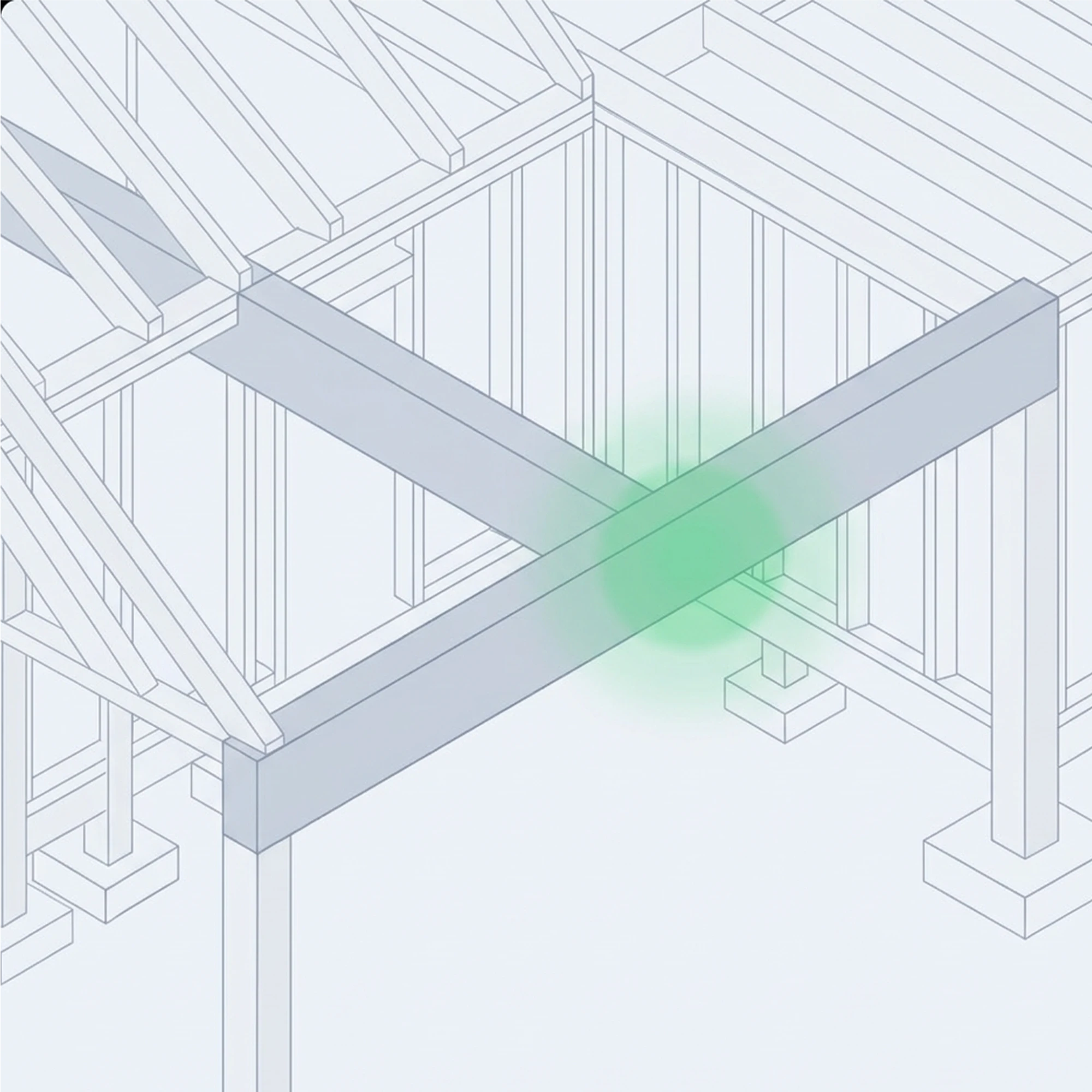
Beam calculator
Compare wood and engineered lumber, then trace shear, moment and deflection.Open the tool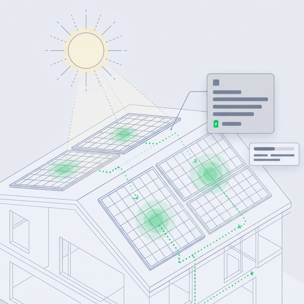
Solar and storage
See how production, roof area, storage and rates change a monthly energy balance.Open the tool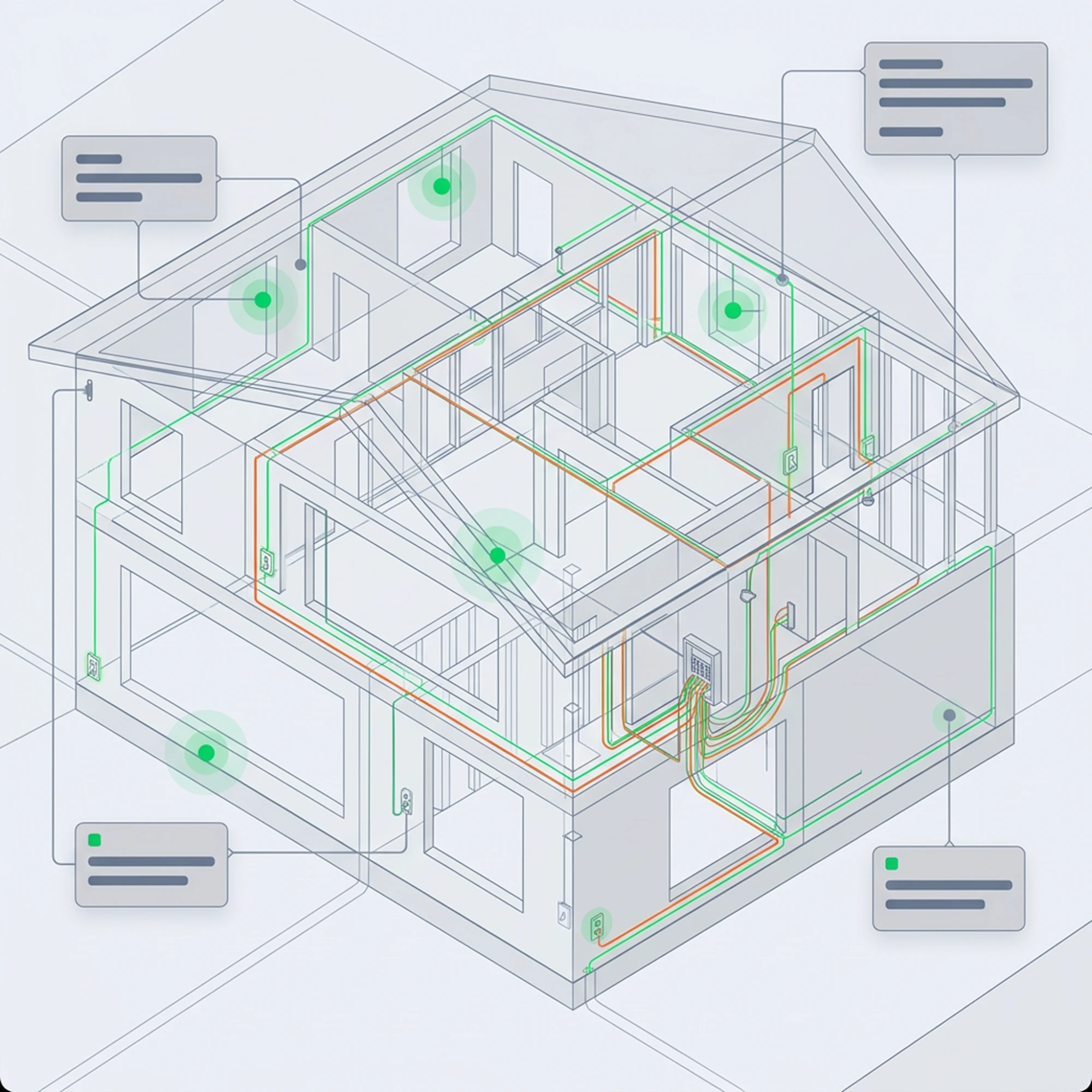
Electrical layout
Trace walls, place lighting and appliances, and connect every load to a main panel.Open the tool